Smoke briefly cleared out a storm cloud view, however strong thunderstorms were hidden behind the smoke shield for the most part as I filmed from Wascana Lake yesterday. Radar indicated storms just west of the city (Pense) but they kept rolling by northbound and wildfire smoke wrapped it up for me. September 9th continues to show potential. It not over yet!
Today's Song via YouTube Music
Canadian Prairie Storms Pages
Thursday, August 31, 2023
Calgary Skyline Lightning This Morning via Kyle Brittain on X
Wow some incredible lightning strikes, here is one of the amazing photos found on X Twitter:
Who is all awake in Calgary now? #yyc #abstorm pic.twitter.com/PxNeVyCPSe
— Kyle Brittain (@BadWeatherKyle) August 31, 2023
Wednesday, August 30, 2023
Tuesday, August 29, 2023
Moderate Risk #skstorm Supercells on Wednesday
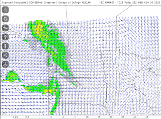
The latest high resolution forecast model is showing a line of strong thunderstorms across southeast Saskatchewan between 5pm and 9pm, moving northeast from there overnight into Manitoba for Thursday's risk. Up to 2 cm hail and flash flooding are the main risks. High winds and tornado risk are very low. Supercell structure might be good. Note: tornado risk increases overnight into Thursday for Manitoba. Several waves possible.
Potential 220 km/hr Landfall for Hurricane Idalia
Check out the potential maximum wind gust via the NAM Nest for #Hurricane #Idalia from 119 knots at land fall, 80 knots well inland through Tallahassee, Florida. #FLwx
— ⚡️StormRangerBike🤠🚲 (@StormRangerBike) August 29, 2023
119 knots=220km/hr=137mph
80 knots=148km/hr=92mph
Lots of potential to damage structures at those rates. pic.twitter.com/YRuy4n6zVG
Danger Area in northern Florida Wednesday morning
Subscribe to:
Posts (Atom)


