Sunday, June 24, 2012

Alberta storm chasing


Eye on the train #abstorm

Chase Day Today

PSPC is confirming our mapped out risk area. They are saying south of the Yellowhead highway will be the main risk area on Tuesday. Talk in the storm chasing community is pretty much settled on the Regina area as the focus for Tuesday. Prairie Storm Prediction Centre also says is will be a dangerous situation. As for today, my chase team is getting ready to head out in the Shadow Hunter. We want to target the Maple Creek to Medicine Hat areas for this afternoon. We are not expecting too much, however we must take some time to test equipment and communications before the big show starts tonight and into Monday. Please refer to the previous post for the general risk area and we will post as we go, photos and current conditions. Feel free to discuss on the twitter list, Facebook group and commenting on this page. Links are in the side bar further down on this page. The live chase link will show the location of other chasers on the map.

Saturday, June 23, 2012

Storm Chase - Sunday threw Tuesday

I've made the map up for the next 3 days since I won't have a chance to work on the home pc. Storm chasers are all heading towards southern Alberta for Sunday's start of a 3 day storm chasing jamboree! This one will be especially awesome since I get to try out the new BlackBerry PlayBook and stream parts of the chase LIVE on ustream! I'll post the link once its up, here is our forecast and rough guide to where and when its all going to happen:


Thursday, June 21, 2012

Busy Week, Baby Storms

As the long term forecast models came out last night suggesting an outbreak next week, we were treated to a fiesta of pop up thunder showers, funnel clouds and small hail this week in Regina, topped off with a beautiful display of a thunderstorm sunset that took on the appearance of a pyramid. Sunday, Monday and Tuesday next week could be active from Alberta to Saskatchewan. The forecast will be updated as the time gets closer. Damaging Supercellular TwisterStorms will be on the menu next week. Goodbye spring, hello summer. 


Hail Storm Hits Regina!

Funnel Cloud Over Regina!

Sunday, June 17, 2012

June 17, 2012 #saskstorm (11 photos)More photos from Bill Allen

June 17, 2012 #saskstorm (11 photos)

More photos from Bill Allen

Today's Risk Map/Moderate Risk in South Dakota

Isolated severe thunderstorms my pop up in south eastern Saskatchewan and western Manitoba today while a Moderate Risk has been issued further south. South Dakota, Minnesota and a small portion of North Dakota is currently under a Moderate Risk situation. Conditions are ideal for the development of strong tornadoes and very severe weather in those areas while it will be mostly quiet on the Canadian Prairies today.


Saturday, June 16, 2012

Today's Risk Map - Cold Core Funnels Possible For Southern Manitoba


Conditions today in southern Manitoba are similar, yet slightly weaker as yesterdays tornadofest in west central Saskatchewan. Cold core funnels and weak tornadoes may be spotted in areas of the interlakes region of southern Manitoba. From Dauphin to Brandon, 300mb vorticity is off the charts at maximum strength but CAPEs are low with little heating available for major storms. Very concentrated localised tornadoes could occur but hail may be pea sized and downpours of rain brief if any.

Surprise Tornado Outbreak In Saskatchewan

Tornadoes and cold core funnel clouds were spotted across much of west central Saskatchewan Friday afternoon. From Biggar, Tramping Lake and Unity areas to Perdue and Asquith, all west of Saskatoon, spotters took videos and photos of all sorts of shapes and angles of tornadoes. One barn near Biggar was destroyed according to CTV. A video posted on CBC's website showed an amazing 3 tornadoes at once near Tramping Lake!


Tornado Near Tramping Lake, 2012 from Mark Mallett on Vimeo.


Tons of photos have been posted on the Facebook group "CanadianPrairieStormChasers" from Unity, Perdue and others, as the footage keeps rolling in. Some have said between 5 and 6 tornadoes have been confirmed but that number may rise or fall after an assessment from Environment Canada which could take a few days. Close to 100 photos have been posted at rough count so far but I would guess no less than 10 tornadoes occurred within the same area.


News articles:
Saskatoon Star Phoenix
CBC Saskatchewan


Wednesday, June 13, 2012

Slight Risk?

PSPC says slight risk for se sk and sw mb today, i doubt it. CAPES way too low for anything. Thursday Friday are a little better for southern Manitoba but nothing to get excited about, there may be a lightning strike or two but no big storms.

Not worth making a map today.

Tuesday, June 12, 2012

Latest Forecast - Long Term Looks Clear

Looking at the long term severe weather forecast, CAPE values (convective available potential energy) are low to nil until at least next Tuesday where south west Manitoba and south east Saskatchewan may get the next slight risk. So... no major storms are on the horizon for anywhere on the Canadian Prairies until next week. As the forecast changes, you will be updated here asap.

Sunday, June 10, 2012

Southern Manitoba Storm Chasing - June 9, 2012


Storm chasers from across Saskatchewan made the trip on Saturday for early preparation of what is to be expected as the most active year for storms in our lifetimes. Well over 30 vehicles were seen following Reed Timmer and TornadoVidoes.net late into the evening. Our team kept ahead with great forecasting and spotting experience and the latest technology available. (Sasktel recently joined Manitoba's network for full coverage of the most active storm chasing area in Canada) Conditions were ripe for the activity on this day and we start this part of the video near Emerson, Manitoba as we move north east in the safest part of the storm while Reed and the reinforced Dominator vehicle took the core of the storm, pounded with golf ball or large size hail. (extended description on the video page)


HD Video (Recently Added)


Saturday, June 09, 2012

On Target - Manitoba Tornado Safety

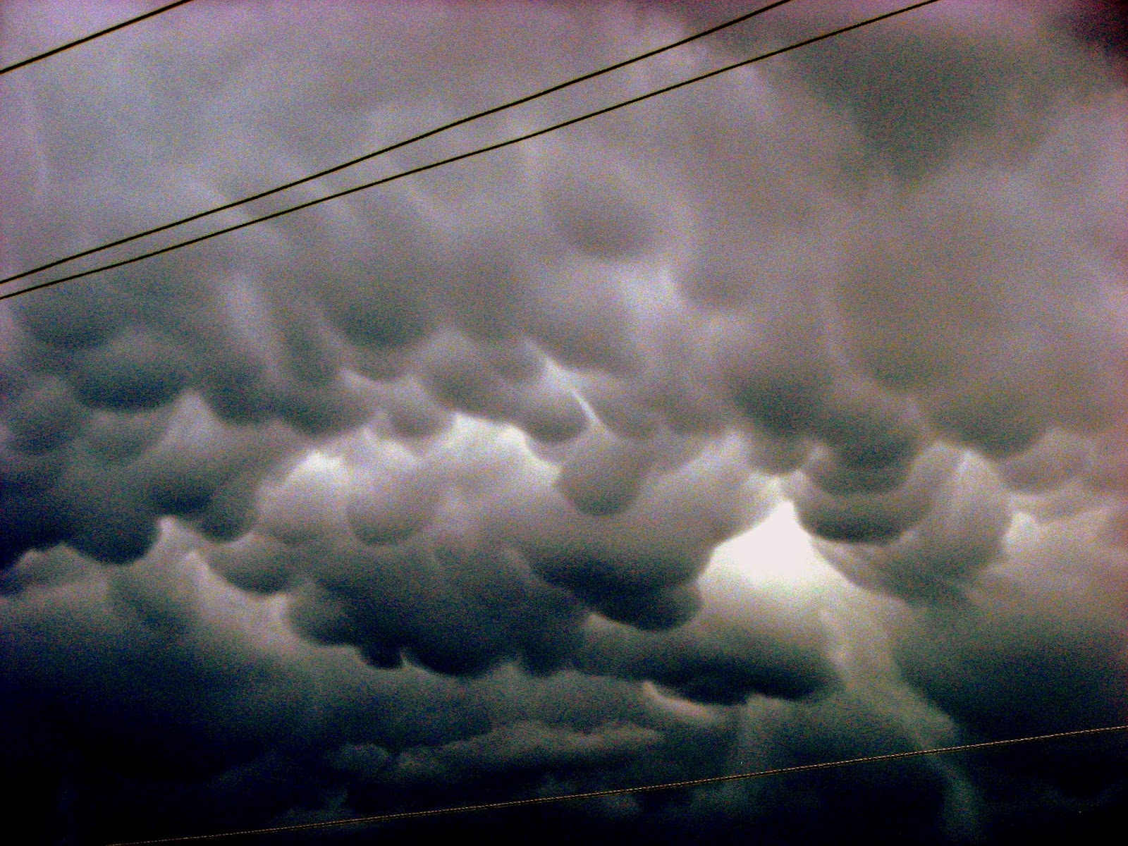
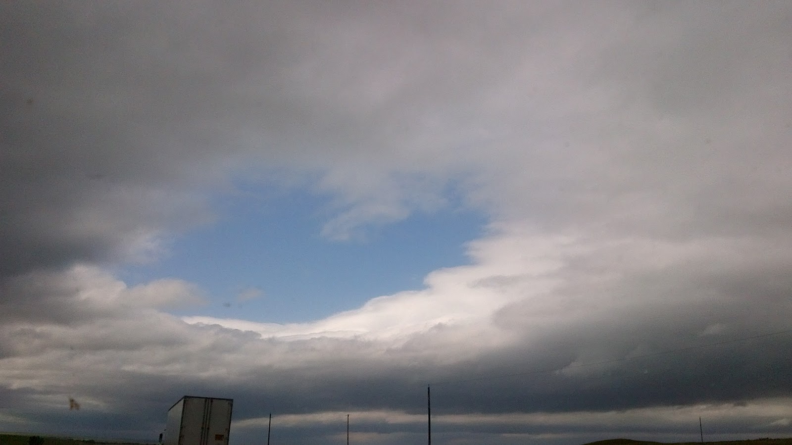
For a good week now we have been looking forward to Saturday for an outbreak of severe weather. However over confident, this will be my first chase of the year. My team is on their way to Regina and by morning we expect to be on route to southern Manitoba. Currently conditions seem to point towards a start point of south western Manitoba around noon and move towards Winnipeg by evening. The tornado risk is not great but is present. Large hail, high wind gusts and intense lightning will be the main risks, with honourable mentions to swarms of mosquitoes and inattentive drivers. There is a very high chance of great photography, cool winds and hot sunshine. The temperature gradient, strong south winds and presence of moisture in the ground and in the air makes for a fabulous combination that can cook up some very entertaining storm clouds.


In the event of giant sized monster beast type tornadopoliptic twister funnelling cyclones, take immediate tornado emergency precautions. If your ears pop, lightning intensifies exponentially, wind goes calm suddenly:

Note: These rules apply from generations handed down over the years of living on the farm. City people could learn a thing or two from this list. (from the only kid born in a city lol)

  1. If you have time, secure all possible flying debris, bring in lawn furniture, equipment such as rakes, hockey sticks, potted plants, bikes. Put all major livestock in the barn such as cows and horses. Dogs go in the house, cats stay outside. 
  2. Close all windows
  3. Lock and secure all doors, inside and out. Every bedroom, every closet, shut all doors.
  4. Put on a helmet
  5. Lie down in the tub (no running water during lightning) 
  6. Get to the safest room in the house (no windows, basement under stairs or inner most room)
  7. Hold onto something solid.
  8. Pray to God.
  9. Remember everything will be fine even when it looks like it will not.
  10. When on a highway driving, do not use overpasses as shelter! Stay on paved roads, keep steady, safe movement. Avoid grid/clay/mud roads. Time your travel with the weather radar if possible so as to avoid the core of severe thunderstorms. Do not impede traffic. Keep vehicle in a garage or underground parking lot during hail storms. 

If you have more to add to the list or just want to make a comment, please do so below.

Jared Mysko - New Storm Gear
Last year's first chase:

Thursday, June 07, 2012

Red Sky Regina


Brilliant sunset in downtown Regina, Saskatchewan this evening.

All Clear Till Saturday

No severe thunderstorms forecast until Saturday across the Canadian Prairies. Will update as we get closer but it could be an outbreak type of weekend of severe weather including tornadoes in North Dakota, Manitoba and southern Saskatchewan.

Wednesday, June 06, 2012

Tonight's Risk Area: South East Saskatchewan


Conditions are ripe for severe thunderstorms including tornadoes and very large hail in south east Saskatchewan this evening; Storms are now firing up in North Dakota, spreading north towards the Estevan/Weyburn areas of Saskatchewan. Large hail 1.5 inches reported; Be prepared, this system will certainly affect the city of Regina, much like last night when Calgary got hit from the aftermath of Taber; between 7pm and 9pm storms will begin to appear in Saskatchewan


Latest map as of 7pm local time:


Today's Risk Map


Tuesday, June 05, 2012

Taber Tornado

Images posted on Twitter of the apparent tornado that touched down near Taber, Alberta around 8:30pm this evening:


Posted on Twitter by @CharleneMacKinn 


Posted on Twitter by @paulkingsmith 
Courtesy of Suzanne Peters

Storms will continue to remain strong throughout the night in southern Alberta and could form in south western Saskatchewan later over night or into Wednesday. The risk of tornadoes has decreased but the situation remains potentially dangerous. Watch the weather and stay safe!

Alberta/SW Saskatchewan

Large to very large hail possible in storms today. Check current forecast and heed all warnings.
Stay safe!

Monday, June 04, 2012

Montana Now

Hail in Montana is getting huge! Largest report now at 2.75 inches, blown out wind-shields and storms continue to head north towards Alberta/Sw Saskatchewan. Worst of it seems to be heading on a line towards Val Marie which could put it close to Moose Jaw much later, say between 11 and midnight. This monster storm is just now appearing on EC radar and is mighty impressive on echo tops. It should die out before making it to Regina but the forecast for tomorrow is ominous with thunderstorms and 80k/hr wind gusts at noon.

Busy Week Ahead

The next 7 days will be very busy for storms on the northern plains and Canadian Prairies. Alberta and Montana will see action on Monday, Saskatchewan on Tuesday and Manitoba/North Dakota on Wednesday. Conditions conducive to the formation of severe thunderstorms increase dramatically on Saturday as southern Saskatchewan and North Dakota could see the first major outbreak of the year for this region. Stay tuned to forecasts and heed all warnings. The 2012 storm season is now officially under way here as the southern plains start to calm. April to May is the busy time for storm in the southern plains while from June to August, the focus shifts north into states such as Montana, North and South Dakota, Minnesota and the prairie provinces of Alberta, Saskatchewan and Manitoba. Also of note, the full moon has just reached its peak and statistics show that most catastrophes occur in the following 4 or 5 days after the full moon as its gravitational pull weakens and drops ocean tides. In other words, what goes up, must come down.

As always, stay safe and respect the weather.


Sunday, June 03, 2012

Manitoba Today

Watches and warnings have been posted by Environment Canada for areas of south and central Manitoba this afternoon. Strong thunderstorm cells have popped up in a line from the lake country down to the city of Winnipeg. These storms have started out very discrete but pack a big punch.

Saturday, June 02, 2012

Marginally Severe Thunderstorms Possible


Severe thunderstorm warnings have been issued east of Calgary, Alberta in the Brooks, Strathmore region. This storm is heading east at 35km/hr and has potential to produce damaging wind gusts, heavy rainfall and large hail. Also, severe thunderstorm watches have been issued in Montana along the Saskatchewan, Alberta borders. Storms are not expected to be especially strong but please pay attention to updated warnings from Environment Canada. More storms could develop into the evening crossing into south western Saskatchewan.

Wednesday, May 23, 2012

Yesterday's Tornado Video/No Storms Today

Here is some incredible footage from @reedtimmerTVN of the storm at the Montana/Saskatchewan border yesterday. They drove D2 right into the tornado!


Today's forecast is saying it will be a cool wet day in most areas with a sudden snap back to unusually cold temperatures on Thursday. No storms possible on the Canadian Prairies.

Tuesday, May 22, 2012

Tornado Risk Today - North Dakota/Manitoba

As cool heavy rain dumps on the city of Regina, temperatures are reaching the 90s F in South Dakota. In between, the atmosphere is destabilising and the Storm Prediction Center in Norman, Oklahoma is giving a 2% to 5% chance of tornadoes in central North Dakota all the way up to the Manitoba border. Storms are not likely to cross into Canada unless conditions change but today's Canadian Prairie Storms Map has been updated to reflect the possible danger area.   

Monday, May 21, 2012

Site Redesign/Experimental Map Is Back!

The Experimental Severe Weather Forecast Map is back this year and has been rebuilt from scratch using Corel Draw X6. It will be updated daily using forecast data from Environment Canada and information supplied by The Arctic And Prairie Storm Prediction Centre. Originally created in 2003, this will be version 3 as it began from Windows Paint program then onto Adobe Illustrator in 2006.

Another addition to the site is a live feed from our list of storm tweeters, including chasers, spotters, meteorologists, The Weather Network and many other weather and local news feeds.

Also, added another lightning detector from Hanna, Alberta to our data links page.

Today's map will always be displayed on the top right hand side of the page and is not of any official relation to Environment Canada. It is designed and created by @jaredmysko so please direct comments and criticisms on twitter for public display and analysis. Warning criteria will almost always appear slightly higher here in order to create public awareness and encourage debate on the topic. Thank you and have a great day!

Jared Mysko


Tuesday's Map (preliminary forecast)


Saturday, May 19, 2012

Giant Cone Tornado Today Near Near Rago, Kansas Today


Giant Cone Tornado Today Near  Near Rago, Kansas Today
Share photos on twitter with Twitpic
http://twitpic.com/9mzll5 


by National Geographic Photographer 

Mike Theiss

@MikeTheiss


Update: Storms continue to produce tornadoes in Kansas and Nebraska with 22 reports so far according to Storm Prediction Center in Norman.

Tuesday, May 01, 2012

First Thunderstorm Of The Year!

Severe thunderstorm warnings were issued just after noon as heavy rain, intense lighting and pea size hail was reported with the first thunderstorm of the year hit the city of Regina, Saskatchewan

The following photos were taken after the storm.
Mammatus Clouds in Downtown Regina 3pm


Sepia effect


Canada Geese relaxing in the park after the storm

Seagulls by Wascana Lake

Regina, Saskatchewan Skyline with Kayaks on Wascana Lake


Saturday, April 14, 2012

DRAMATIC TORNADO COVERAGE by NEWS9 in Oklahoma TODAY

LIVE Twitter Feeds - Storm Chasing High Risk Day

Follow this storm chasers list for the most comprehensive coverage of today's high risk, PDS (particularly dangerous situation in tornado alley in the USA.

Twitter List

Storm Chasing LIVE Streaming Video Feeds

Look how many chase vehicles are out there!

Tornadovidoes.net map of storm chasers with streaming video feeds

Stay Safe!!

#LIVEonlineStormChase #tornado #SPC #weather #highrisk

Friday, April 13, 2012

High Risk Event In Southern Plains Tomorrow [LIVE Chaser Links]

The National Weather Service and Storm Prediction Center in Norman, Oklahoma has circled areas of Oklahoma, Kansas and Nebraska as a "High Risk" for severe weather including wide spread damaging tornadoes and large hail for Saturday evening. Storm chasers are in position now tracking severe weather as it makes its way across the southern plains. One team of chasers is from Saskatchewan, led by the locally famous Greg Johnson.

  Links to Live Streams:
Greg Johnson
Reed Timmer
Severe Studios


Twitter Feeds:
Greg Johnson's Team
 @canadogreg @DJHardwired @MTsevereweather

 Reed Timmer
 @reedtimmerTVN

 Severe Studios
 @severestudios

  Other Links:
Storm Chaser List on Twitter
Canadian Prairie Storm Chasers on Facebook

Stay Safe!

Chamberlain, Saskatchewan Snow Storm - April 6, 2012 [FULL VERSION]

Here is the video from last weeks snow storm north of Regina:

Wednesday, March 28, 2012

New Wind Map

Adding a new feature here in our weather data links: "Wind Map" http://hint.fm/wind/ created by Google computer scientists using NWS forecast database. Must see!

Wednesday, February 01, 2012

Fog and Frost

Thick fog lasted well into the late afternoon today in Regina.