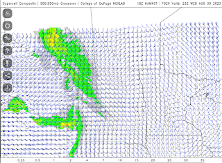
The latest high resolution forecast model is showing a line of strong thunderstorms across southeast Saskatchewan between 5pm and 9pm, moving northeast from there overnight into Manitoba for Thursday's risk. Up to 2 cm hail and flash flooding are the main risks. High winds and tornado risk are very low. Supercell structure might be good. Note: tornado risk increases overnight into Thursday for Manitoba. Several waves possible.


No comments:
Post a Comment