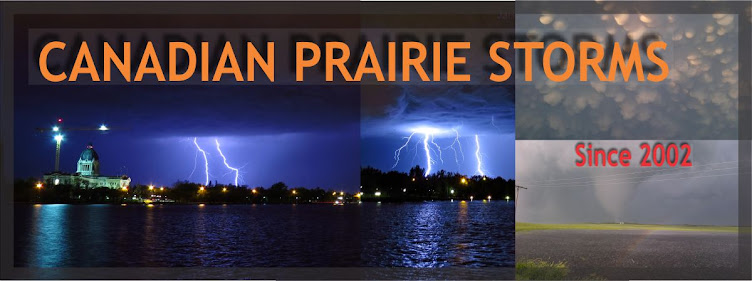
Severe thunderstorms are likely for the City of Regina and most of eastern Saskatchewan. Storms should fire up early today before noon and slowly progress into Manitoba tonight. Main concern will be intense lightning, hail, heavy down pours and flash flooding. Last night, Saskatoon got a wild light show with the local detector peaking at 341 strikes per minute.
Today's Song via YouTube Music
Canadian Prairie Storms Pages
Wednesday, July 11, 2012
Tuesday, July 10, 2012
Wide Spread Risk Area For Storms (map) / Humidex Advisories
Update: Hail is not likely at all but heavy down pours are as air aloft is above freezing levels at 15k feet according to PSPC.
Severe thunderstorm watches have been issued for several areas this afternoon, including south east BC, Fort Simpson in the North West Territories, north central Alberta and western Saskatchewan. With the extreme heat and low surface winds, storms are expected to be slow movers, heavy down pours, flash flooding and intense lightning producers. Once the maximum heating is reached today, thing may change into the evening and we will update the situation as it happens. Night time cooling could cause some very large storms to emerge in any of these areas. Keep cool and pay attention to updated watches and warnings.
Also, be aware of the humidex advisory for central Saskatchewan, including Lloydminster, Saskatoon, Yorkton as the humidex will reach over 40C today. North Battleford, Regina, Estevan could all be included in the advisory as well as values are already hitting 37C at noon.
Environment Canada Special Weather Statements
Environment Canada Watches and Warnings
Friday, July 06, 2012
June 26, 2012 Tornado Screen Captures
Playing around with the levels and lightning after grabbing screen captures from Tuesday, June 26th tornado west of Moose Jaw. You can actually see in some of these screen captures that the hail was literally going straight across, right in front of my face!
***
The blur in the above photo is hail whipping across my nose at 150 km/hr!
Let me know which version you like and prints may be eventually made available!
Subscribe to:
Posts (Atom)
Pages
- Home
- Weather Data Links
- Social Media
- LIVE Storm Chase Feeds
- Tornado Fatalities in Saskatchewan 1898 to 1979
- June 1st, 1986 Three Tornadoes Strike Saskatoon's North End
- Education and History
- Storm Chasing/Meteorology/Weather Sites
- Risk Map Archives
- 2012 YEAR OF TORNADOES IN SASKATCHEWAN (video playlist)
- 2004 Photos
- Photos 2003
- Photos 2002
- Terms of Service / Privacy Policy


